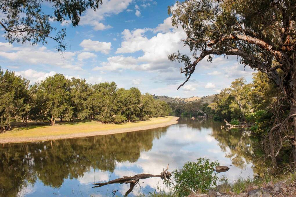
Did you know it takes a drop of water an average of 26 days to travel from the headwaters of the Murrumbidgee River to its junction with the Murray, some 1500 kilometres downstream?
Subscribe now for unlimited access.
$0/
(min cost $0)
or signup to continue reading
Along the way that lone droplet has to negotiate the many twists and turns of the river as it descends from the high country. It's likely to also be dammed and diverted at various points both as part of the Snowy Mountains Hydro Scheme and further west in the irrigation areas of the NSW Riverina. Closer to home it winds through a vast swathe of the ACT, sometimes skirting suburbia and at other times gouging its way through remote gorges.
The Murrumbidgee is one of Australia's most important and celebrated rivers and one which the writer of this column has long had a soft spot for. In fact, regular readers may recall the summer of 2011 when your akubra-clad columnist hiked, paddled (and mainly floated!) along the entire length of the river's flow within the confines of the ACT borders. Not so well-known is that ever since that 66km long quest, I've longed to trek to both its source near Peppercorn Hill in northern Kosciuszko National Park and to witness its confluence with the mighty Murray on the Hay Plain - and along the way to highlight it's diverse path and changing environs.
Well, it seems I've been beaten to it. Alan Lee and Jonquil Mackey, two adventurous Canberra photographers have cleverly captured a journey of similar ilk in Murrumbidgee River in 26 Days, their first joint exhibition which opened this week at the Tuggeranong Arts Centre.
During the week, your envious columnist tracked down the dynamic duo, both teachers at Radford College, and whose 26 days of photographing the 'bidgee were non-consecutive and spread over four years of "carefully planned camping trips".
"We explored different parts of the river at different times," admits Mackey, adding "we actually went to the junction with the Murray first and then later we moved our way upstream."
Despite observing the same vistas of the river and surrounds, remarkably Lee and Mackey returned home with completely different images.
"Whilst we worked closely together on this project we took contrasting approaches," explains Mackey. "Alan leaned towards the documentary, and often strayed into the hinterlands while I was drawn to the abstractions where water and land meet."
Nowhere was their differing style more evident than during a field trip to Taemas Bridge near Wee Jasper where Lee's matter-of- fact photographs detail the nuts and bolts of the landmark metal MacDonald Truss bridge and its symmetrical sighting in the river valley.

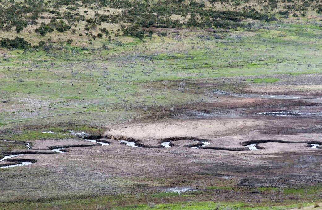
"Well, Alan is a science teacher after all," jokes Mackey, whose images, in complete contrast depict the patch-work quilt, birds-eye view of the partly-dry river bed complete with random kangaroo prints and markings left by sticks dragged along by the receding water.
For visitors to the exhibition, Lee and Mackey have used their divergent approaches to photography into a game. "There are no labels on the prints hanging on the walls, as we want people to guess who took which photo," explains Mackey.
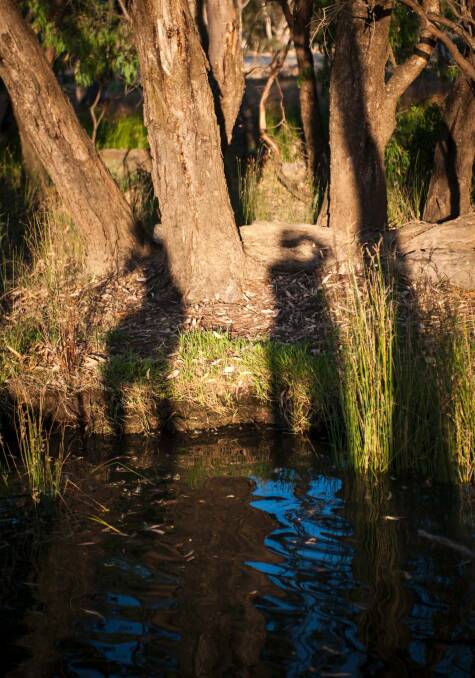
Adding to this intrigue, the only self-portraits Lee and Mackey have from their river forays are shadows. In one such ethereal 'selfie' Mackey snapped of herself and Lee at Five Mile Bend near Narrandera their shadows reflected in the shallows resemble river spirits, emphasising that Murrumbidgee River in 26 Days is selflessly about the river's journey, and not that of a pair of passing photographers.
So as teachers, what did they both learn from their 'bidgee pilgrimage?
"I expected the river to be more consistent but its changeability really struck me – from its lolling flow through the countryside to its diversions into weirs and reservoirs," says Lee.
"It was so wonderful waking up in beautiful unknown places and spending time with the river, but as some friends in Griffith pointed out to us, you can't only have a conservation eye, you've also got to appreciate the diversity and quantity of food produced in the region as a result of the water it brings," divulges Mackey.
The timing of the exhibition and close proximity of the Tuggeranong Arts Centre to the 'bidgee itself won't be lost on embroiled in the ongoing community debate about the encroachment of urban development on the Murrumbidgee River Corridor.
Although Mackey remains at arm's length to these discussions, she does, however, "hope that by visiting the exhibition Canberrans will get a sense of the river's journey and its diverse beauty," adding, "next, we'd like to discover the story of the river and the people; how Indigenous people interact with the river and indeed all the people living along the river."
Given Lee's scientific bent, I expected the exhibition to feature exactly 26 photos to parallel the number of days of the shutter-bugs' journey. However, that's not the case.
"We ended up hanging 28, because there's always those two you just can't do without!" explains Mackey.
And that's a good thing, because I suspect many who view this exhibition, which shines the spotlight on the plight of our country's third longest river, will leave wanting to see even more.
Fact File
Murrumbidgee River in 26 days: On show at the Tuggeranong Arts Centre, 137 Reed Street, Greenway until October 1. Monday-Friday, 10am-6pm and Saturdays 10am-4pm. Closed Sundays. Ph: 6293 1443 or www.tuggeranongarts.com
Watch out for: A number of the duo's photos can only be appreciated when viewed in large colour format on the gallery walls. These include the distinctive mixing of the waters in Lee's image of where the Murrumbidgee meets the Murray on the Victorian border and Mackey's birds-eye view of the river bed looking down from the deck of the Taemas Bridge near Wee Jasper.
Father's Day fun: In search of somewhere different to treat dad for Father's Day this weekend? Lee and Mackey have two suggestions, both naturally on the Murrumbidgee.
1. Pack a picnic and wander along to one of the ACT water holes like Kambah Pool or Uriarra Crossing where Mackey was "amazed when photographing that beautiful stretch of river there was never anyone else around, despite its proximity to the city".
2. Enjoy a Sunday drive to the village of Jugiong (about 1.5 hour's drive from Civic via Barton Highway and M31) where the river is easily accessible near the showground. "Oh, and for dads who like their tucker, the Long Track Pantry Café [book by calling 02 6945 4144] is really good too!" exclaims Mackey.
Did You Know? The word 'Murrumbidgee' means 'big water' in the Wiradjuri language.
Beware the bunyip: Like many of Australia's inland waterways, the Murrumbidgee is home to many stories about the mythical bunyip. Canberra region historian and founder of the Queanbeyan Age, John Gale reported in his book Canberra: Its History and Legends that in 1927 a 'bunyip' was not only sighted but also 'captured' on the river at Lambrigg Estate near Tharwa. Gale reports that, "it was the size of a mastiff dog with fine fur ...and an amphibious animal of the seal family." Remarkably, "after being kept in confinement for several days...it escaped, and doubtless made its way back into the river." So beware, that nibble on your toes at your favourite swimming hole might not be a yabby after all.
SIMULACRA CORNER
Spanish Bull
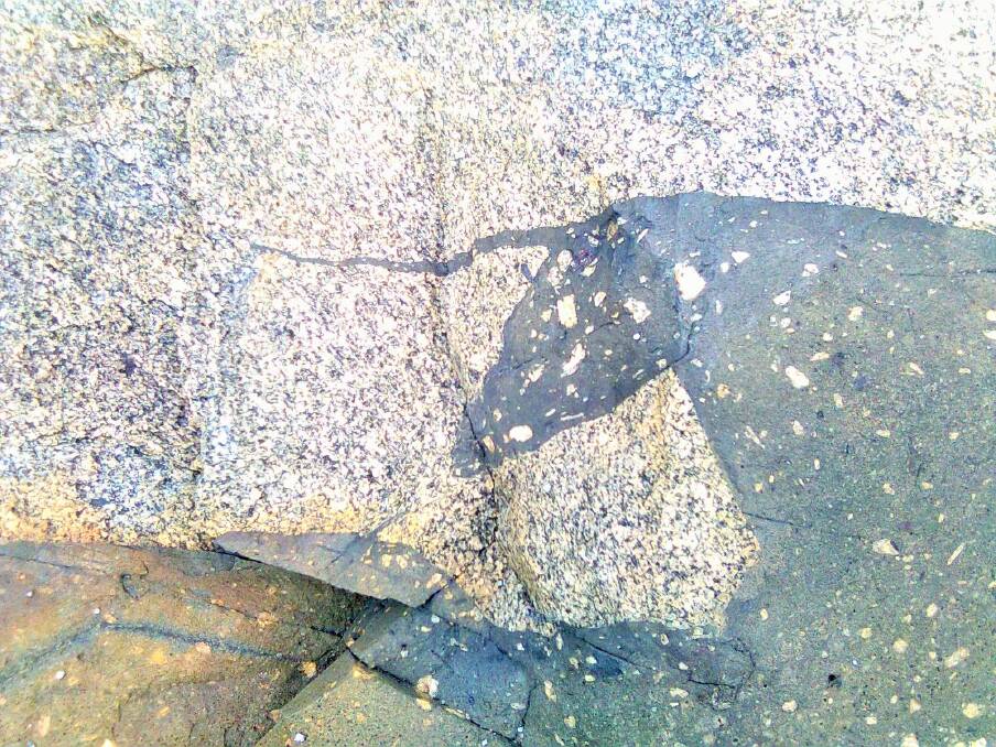
Prompted by last week's two-dimensional shark at Tidbinbilla (Simulacra Corner August 27), Stewart Needham, of Broulee, submitted this "raging spanish bull of the kind preferred by toreadors", which he found lurking amongst the granitic rocks of Bingi Bingi Point on the NSW south coast.
Needham, a one-time Canberra-based geologist and environmental scientist, explains that the 'bull' and surrounding rocks "are known internationally amongst the geological community for the evidence they provide of different magmas intermingling in their molten state, before crystallising to become the rocks we see today."
WHERE IN CANBERRA?
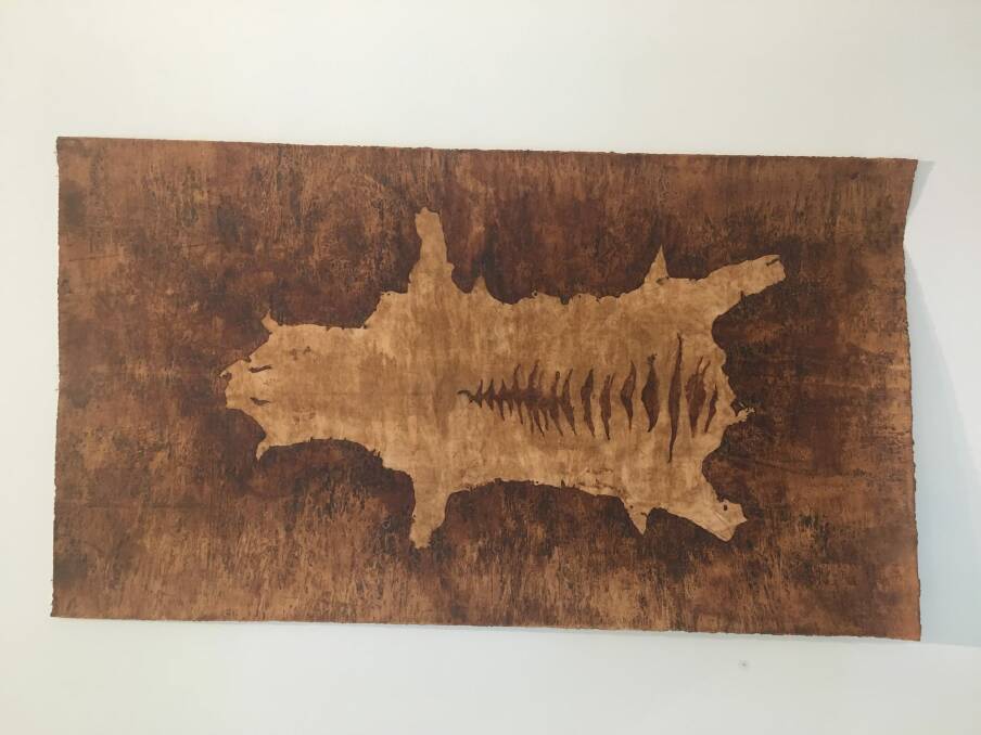
Degree of difficulty: Hard
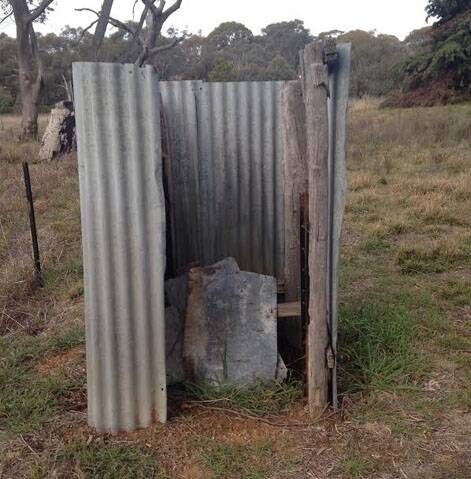
Last week: Congratulations to Roz Purtell who was first to correctly identify last week's photo sent in by Virginia Taylor of Acton as "the dilapidated dunny at the Weetangera Cemetery on William Hovell Drive, the site of the Methodist Church which was erected in 1873 and demolished in 1955."
Purtell, who often walks to the historic cemetery from her home in nearby Scullin reports, "it is easy to access, just hard to spot," adding the lonely loo is "located not far from the intersection of Drake Brockman Drive and William Hovell Drive where there is room to park your car".
How to enter: Email your guess along with your name and address to timtheyowieman@bigpond.com. The first email sent after 10am, Saturday September 3, 2016 with the correct answer wins a double pass to Dendy cinemas.
CONTACT TIM: Email: timtheyowieman@bigpond.com or Twitter: @TimYowie or write c/- The Canberra Times, 9 Pirie Street, Fyshwick. You can see a selection of past columns here.

