It was a hot day in late November and the blasting winds foreshadowed a dangerous summer.
Subscribe now for unlimited access.
or signup to continue reading
In coastal towns people were getting ready for their peak holiday season when lightning struck in dense state forest to their west.
Fanned by a west-north-westerly, the Currowan fire began its rapid spread on November 26 as the temperature reached 30 degrees. By the next day it had grown to 2500 hectares.
Forestry contractor Dave Howes was in a Currowan State Forest logging area, on Clyde Ridge Road, and saw no sign of fire when he stopped for lunch at 12.30pm.
It took half an hour for smoke to appear behind him. Mr Howes parked his machines in a safe area and got out.
By 2.30pm, as fire tore through the forest, he and two other contractors were escaping down a logging track.

"We were driving through very thick red and black smoke," he said.
"It was a worry because we could see the smoke but we couldn't see where the fire was."
There was only one track out, and he feared the fire could cut him off. The three contractors reached safety in 30 minutes.
"I looked back, it was boiling up, the wind was really strong. We couldn't do anything about it," Mr Howes said.
The fire moved about 7km in a few hours, and destroyed a bulldozer he'd parked before escaping.
"When we came back the next day, we saw how high it was in the treetops and how black everything was," he said.
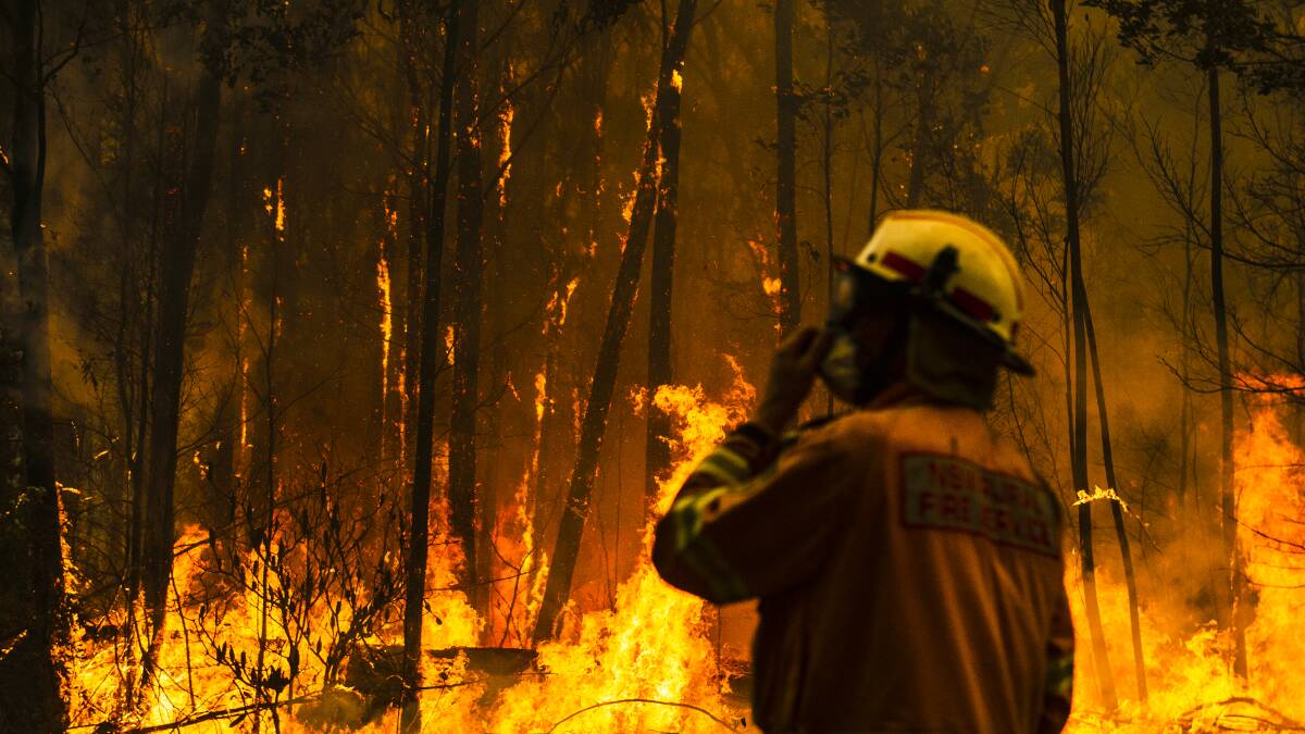
"It was in the trees and the winds kept blowing and blowing, and it dropped on the ground and away it went."
Firefighters soon extinguished another, separate fire burning around the same time closer to Nelligen. The Currowan fire went on to spread in all directions, burning about half a million hectares and destroying hundreds of properties.
Its story begins before the bolt of lightning hit somewhere in the difficult terrain of ridges and gullies in Currowan State Forest.
A decade of dry conditions, and the last two years of drought especially, had sapped moisture from the land and heightened the fuel available to burn. The drying of vegetation in the months leading up to the bushfire, and since it started, have worsened the odds for firefighters trying to stop it.
Before fire gets anywhere near them, trees have been dropping large amounts of leaves, stressed by the drought.
A combination of low humidity, dry soil and high temperatures has pushed the Currowan fire - now split by the NSW Rural Fire Service into several fires for operational reasons - from north-west of Batemans Bay to the Southern Highlands in less than six weeks.
Shoalhaven Rural Fire Service district manager Mark Williams said the fire had made runs of 12-15km, distances he hadn't seen in 30 years of firefighting.
"Any wind whatsoever is just seeing these fires run and fairly extreme behaviour from what would normally be a benign condition day," he said.
While only one catastrophic fire danger warning has emerged during the life of the Currowan fire, conditions have nevertheless reached a catastrophic level and exceeded the forecasts on a couple of days.
It took about a week for the fire, then as large as 11,500 hectares, to make its first dash across the Princes Highway and attack coastal towns, smashing East Lynne on December 1 and bearing down on Termeil. Evacuation centres opened in Ulladulla and Batemans Bay, at that time relative safe havens.
A long stretch of the Princes Highway was closed and showed the black scars of fire damage as towns between Burrill Lake and Batemans Bay prepared for fire on December 5.
It had all the makings of a storm, but instead of rain, we got fire.
- Dave Vanessen
In Bawley Point, firefighters converged in the town's north after the Currowan fire made its first major advance into the heart of a coastal town after jumping Willinga Lake about 2pm on a north-westerly wind, darkening the sky and reducing visibility to metres.
Bawley Pointers, cut off from the Princes Highway, waited at the town's headland above the beach. Some evacuated the town on a Marine Rescue boat sent from Ulladulla.
A southerly wind change swung the fire's path away from Bawley Point homes and north through Meroo National Park to Lake Tabourie, where it reached the back fences of homes and then left.
The Currowan fire ended the day about 55,000 hectares in size, and kept pushing north and south inland. Kings Highway shut three days later as bushfire reached the major artery between Canberra and the coast.
The South Coast brings its own difficulties for the battle to contain the Currowan fire.
Its escarpment and hills can combine with wind to encourage bushfires to behave more unpredictably.

UNSW bushfire risk management expert Jason Sharples said the region had this in common with Gippsland. Both are prone to what experts call a "foehn wind", when air from drier and higher parts of the atmosphere arrives, moving over mountains, and blocking and replacing lower air. As the dry air comes down, it compresses and warms, bringing strong, hot winds.
"It means that the fire's going to be able to do things which are both unexpected and will act to escalate the fire very rapidly," Professor Sharples said.
In response, more spot fires start. Fire moves in directions perpendicular to the wind, and makes intense runs up hills.
Another idiosyncrasy of coastal towns is the meeting of north-westerly and north-easterly winds, known as the "line of convergence". It can make firefighting more difficult on the ground, Superintendent Williams said.
The emergence on December 19 of another blaze further north of the Currowan fire, near the hamlet of bush homes around Tianjara, took up more of the Rural Fire Service's resources. The cause of the Tianjara fire remains under investigation.
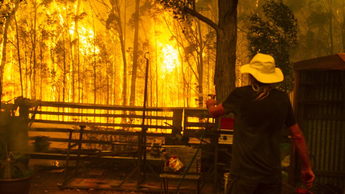
Two days later, on a day stamped with warnings of a catastrophic fire danger, the Currowan fire incinerated bush and threatened homes around Woodstock, to the west of Ulladulla, with 60-metre flames.

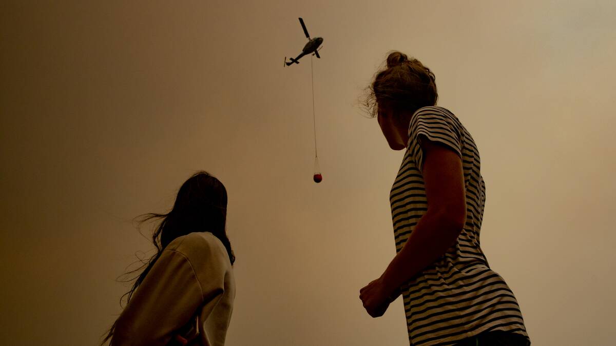
While coastal towns prepared for ember attacks and watched the sky go black in the afternoon, a bushfire-generated storm formed and screamed towards Nerriga.
The storm - called a pyrocumulonimbus - darkened the area and about 30 evacuees sheltered in the town's pub as fire approached at 70km/h.
Nerriga volunteer firefighter Dave Vanessen said it was like "the last day of your life".
"If I wanted to compare that experience with something, it's like being in the worst hail storm where you want to find cover. Hail as big as a golf ball," he said.
"That experience was worse. It had all the makings of a storm, but instead of rain, we got fire.
"The wind came from every direction. It was an ember attack."
Superintendent Williams said a pyrocumulonimbus had formed at least three times in the region this summer, emerging mainly on what firefighters called "blow up days" of dry, hot, windy conditions.
READ MORE:
Columns of heat rise with smoke, and once they punch through 15-16km high, they start forming a thunderhead and can produce lightning storms. Once the system collapses, it sends the wind in a 360-degree direction, making fires behave erratically on the ground and throwing spot fires kilometres ahead of the firefront.
Professor Sharples said the number of pyrocumulonimbus events this fire season dwarfed any before it.
A day after Nerriga lost multiple homes in the firestorm, the Rural Fire Service announced the Currowan fire (144,000 hectares) and Tianjara fire (22,000 hectares) had merged, stretching from just north of Batemans Bay up towards Nowra. It kept spreading north towards Kangaroo Valley.
At its southern edge, it crossed several points of the Kings Highway, forcing the summer holiday thoroughfare for Canberrans to close for weeks.
The fire grew large enough for the Rural Fire Service to divide it by local government area. After it hit Nerriga, the western part of the blaze in the Queanbeyan-Palerang council region was renamed the Charleys Forest fire. South of the Kings Highway in the Eurobodalla Shire Council area, it became the Clyde Mountain fire. To the north around Wingecarribee, it was renamed the Morton fire.
Holidaymakers had arrived at coastal towns when a high pressure system over the Tasman Sea was dragging in a hot, dry air mass from central Australia over the south-east.
There is still a hell of a lot of unburnt country out there.
- Shoalhaven RFS district manager Mark Williams
On New Year's Eve, fire raced back towards the coast as tourists and residents escaped to evacuation centres, and at some towns, the beach.
Its flames reduced a large part of Conjola Park to rubble.
At Malua Bay evacuees waiting on the sand felt heat radiate from the blaze as it destroyed houses and the town's recently-renovated bowls club. Fire ruined much of North Rosedale. A favourite holiday stop for Canberrans, Mogo, lost multiple buildings.
The RFS control centre watched its weather station flick between a north-easterly wind at about 26 degrees across to a north-westerly warming straight up to 42 degrees, and then back five minutes later to a north-easterly. The area was right on that volatile line of wind convergence, Superintendent Williams said.
Laurie Andrew, 70, died outside his home at Yatte Yattah. Fire also killed a 75-year-old man in a car in the same district, just near the Princes Highway, on New Year's Day. A 62-year-old man was found dead in a vehicle at Sussex Inlet the same day.
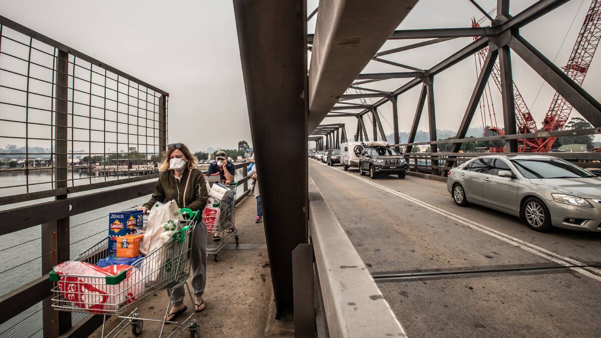
After the most traumatic day of the Currowan fire, the Rural Fire Service told holidaymakers to leave the South Coast. A mass exodus clogged roads, slowing and halting traffic along the Princes Highway at Ulladulla and Batemans Bay.

Most holidaymakers had left the region within three days, before fire began attacking homes again along the coast on January 4 in extreme weather conditions. It tightened its hold in the Southern Highlands, where it destroyed homes at Wingello and Bundanoon.
Superintendent Williams said the fire was unlikely to starve to death.
"There is still a hell of a lot of unburnt country out there as well, so that itself won't extinguish it," he said.
The one thing that will stop the Currowan fire is, ultimately, rain. For now, it looks out of reach.
"Hopefully we'll get that sooner rather than later," Superintendent Williams said.
"A good couple of hundred millimetres of rain over a couple of days would be fantastic."


